METAR Code
N/A
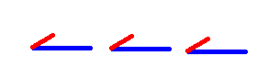
Weather Symbol
Trowals are associated with elevated convective precipitation, which can give low visibility and high accumulations on the ground.
A trough of warm air aloft is the result of surface fronts colliding with each other, forcing clouds associated with each into the atmosphere. The warm air from the warm sector gets lifted into the air and wraps around the back side of the low-pressure system leaving mainly cold/cool air at the surface.
Associated terms coming soon:
Dewpoint and low-pressure system are terms associated with a trowal that will be coming soon to the Aviation Meteorology Reference.
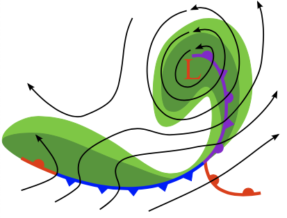
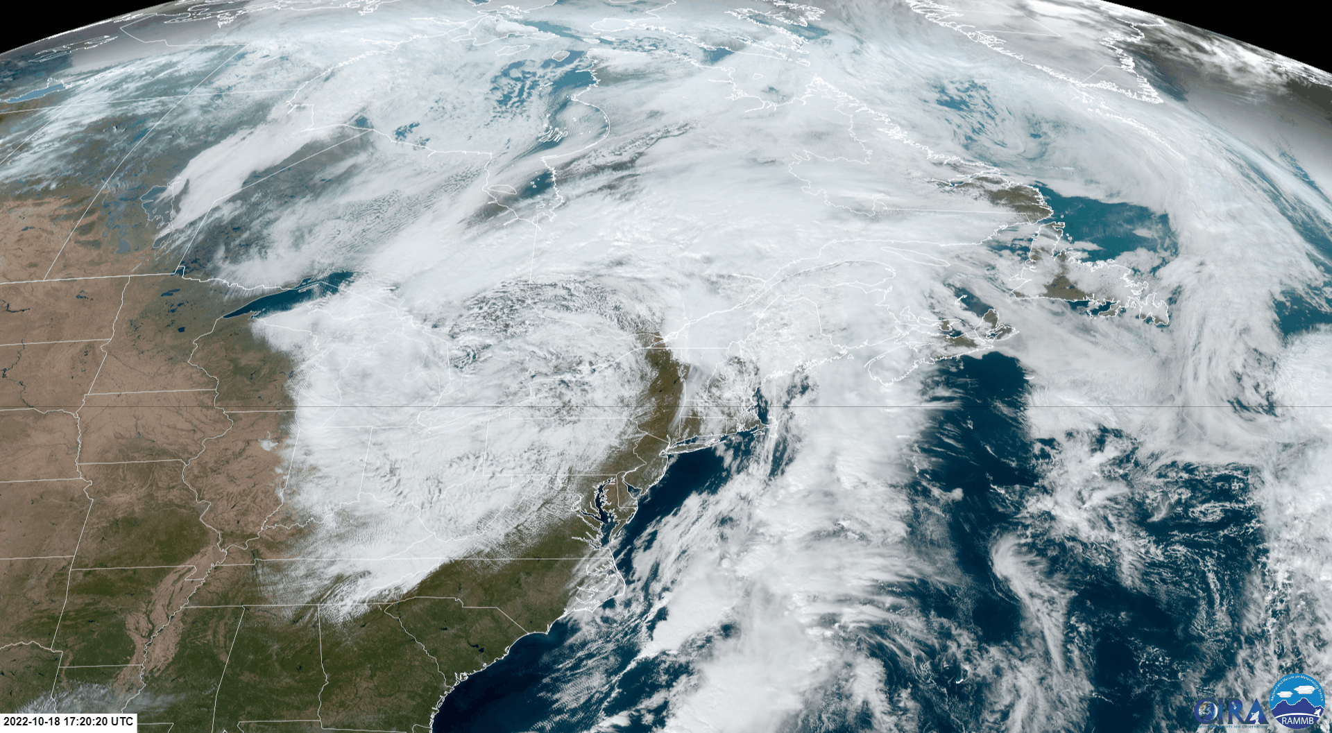
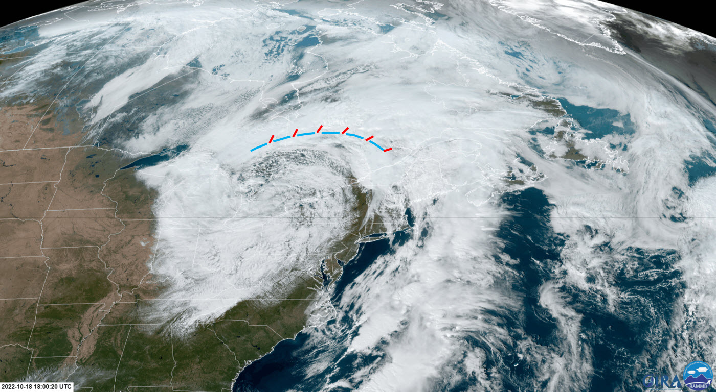
This animated GIF depicts a simplified, overhead view of a warm and cold front "occluding" (colliding), and lifting the warm air from the surface into the air, forming a trowal. Trowals will form in the dissipation stages of a low-pressure system with associated fronts. Forcing warm air into the atmosphere acts as a trigger for convection, and can generate associated precipitation, turbulence, and icing.
For a trowal to form, a mature low-pressure system must be present with associated fronts. A trowal is formed when these fronts occlude.
Occlusion occurs when fronts move at different speeds relative to each other and/or the low-pressure center itself, causing the surface fronts to collide into each other and form new features, both at the surface and above ground (in most cases, the cold front moves faster than the warm front). At the surface, the "occluded front" is the line between the cool air ahead of the warm front, and the cold air behind the cold front.
The trowal however, forms in the mid levels of the atmosphere. Due to the lower density of the air in the warm sector (warmer, more humid), this warm air is lifted off the ground by cool air ahead of the warm front, and the air behind the cold front and wraps around the low-pressure center. In Canada, it is conventional to mark the location of this warm air aloft with a trowal on weather maps.
Image Source: Environment and Climate Change Canada
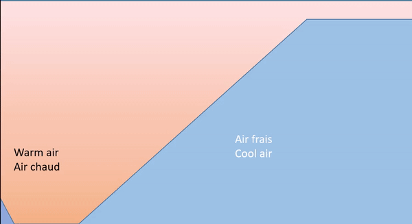
This is a simplified side-view of cold air (behind the cold front) catching up with and overtaking cool air ahead of the warm front. The cold, dense air plows under the relatively warmer air ahead, forcing both warm and cool and upwards. The warm air, now settled on top of both air masses, forms a trough of warm air aloft (trowal). The point where the cold front, warm front, and trowal meet is referred to as the “triple point”. When the warm air is forced aloft, it is cools and condenses, generating precipitation/convection along the trowal.
Image Source: Environment and Climate Change Canada
While occluded fronts can often have strong and gusty winds associated with them at the surface, in Canada, the trowal is marked to indicate the active weather and convection that is generated aloft.
The vertical extent, and height off ground of the trowal can be quite variable, as it depends on the relative temperatures of the air ahead of the warm front and behind the cold front, and the relative stability of the air above the trowal;
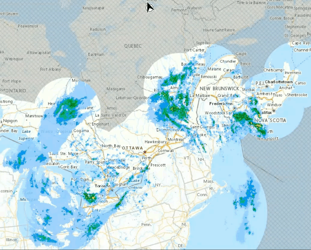
In both cases, this narrow region of warm, humid air and existing clouds along each front being forced into the upper levels provides prime, sustained conditions for precipitation to form. Significant precipitation rates are often noted along the trowal.
These precipitation rates are largely due to convection which forms in the trowal. Rapid movement of warm air into the cool/cold mid-levels allows the warm air to rise freely (since it is warmer and less dense than its surroundings), generating convective clouds. These convective clouds can generate significant precipitation, and thunderstorms.
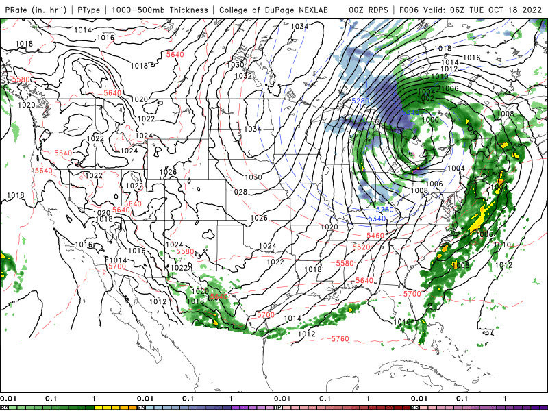
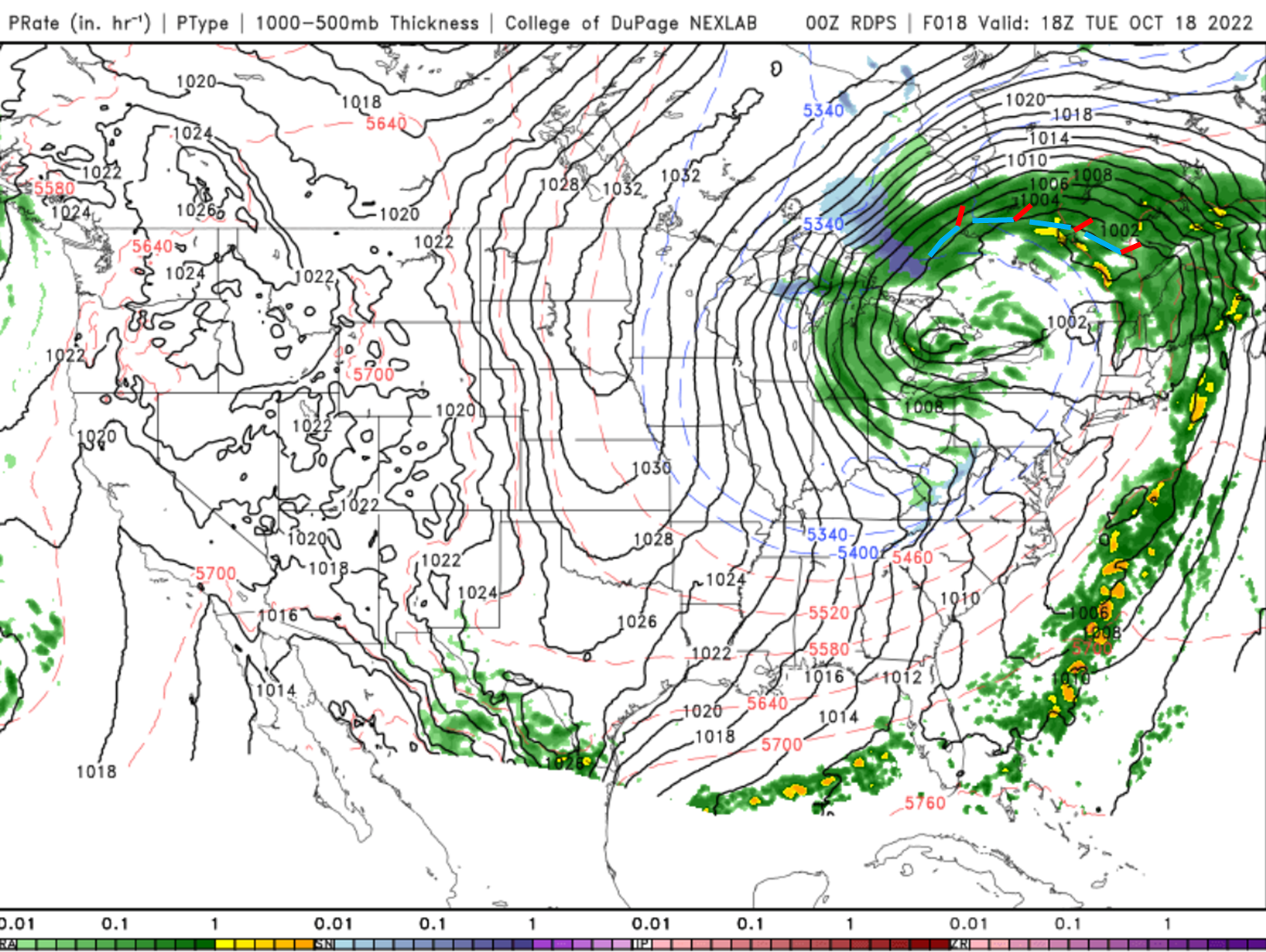
This image is one of simplified relative precipitation rates around frontal features. Note the enhanced precipitation along the cold front and near the trowal/occlusion, due to the convection that is formed there. The low-pressure center also tends to have amplified precipitation, since it is responsible for large scale lift. Also, given the nature of cold air pushing underneath the warm air aloft, it is possible to get freezing precipitation in the low levels under a trowal in cold months.
Image source: SkybraryOpen a new window