METAR Code
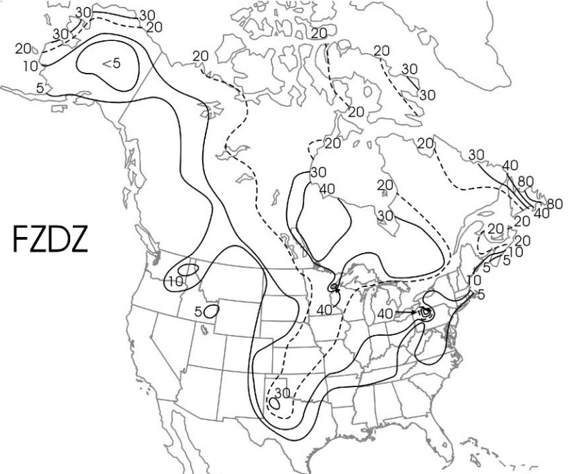
FZDZ
Weather Symbol

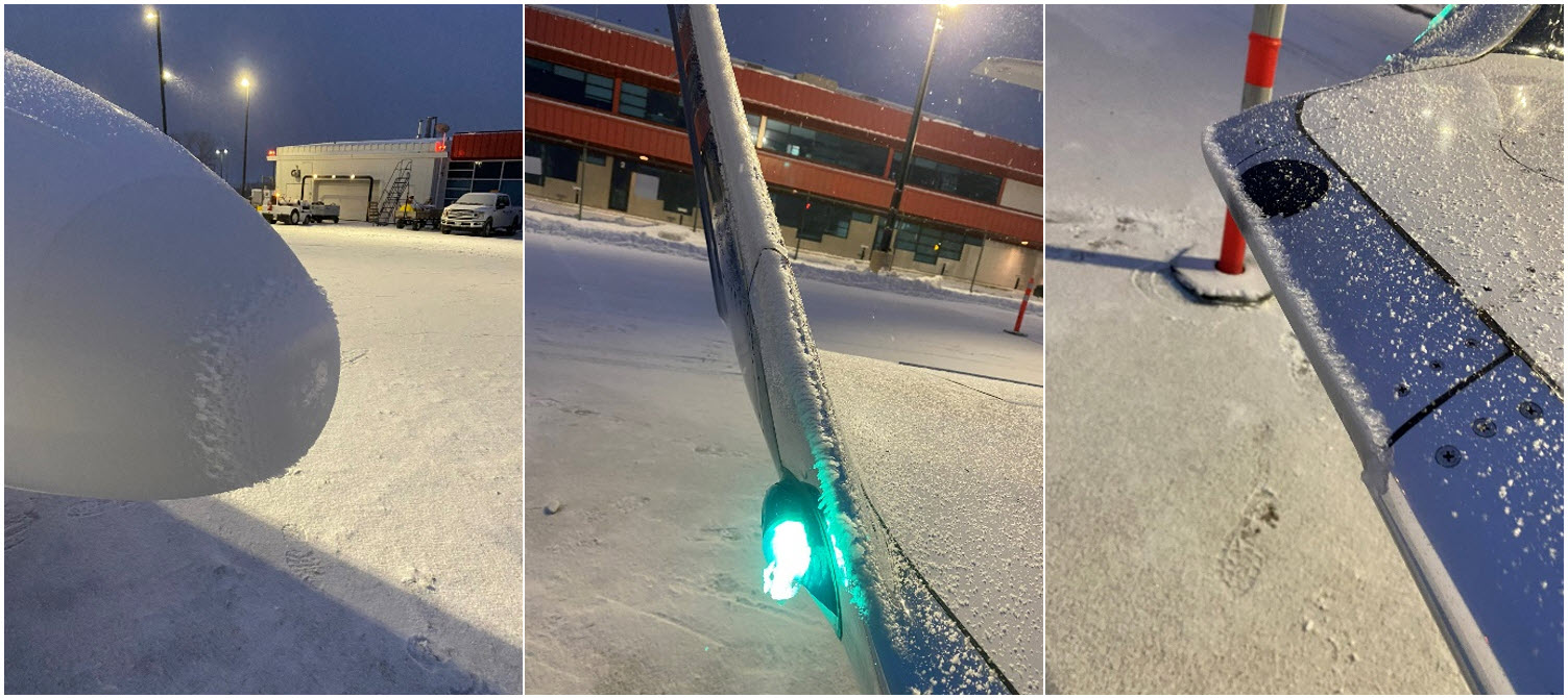
Drizzle that falls in a liquid form but freezes upon contact with the ground or other surfaces.
Associated terms coming soon:
Inversion, high-pressure system, and upslope flow are all terms associated with freezing drizzle that will be coming soon to the Aviation Meteorology Reference.
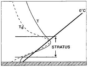
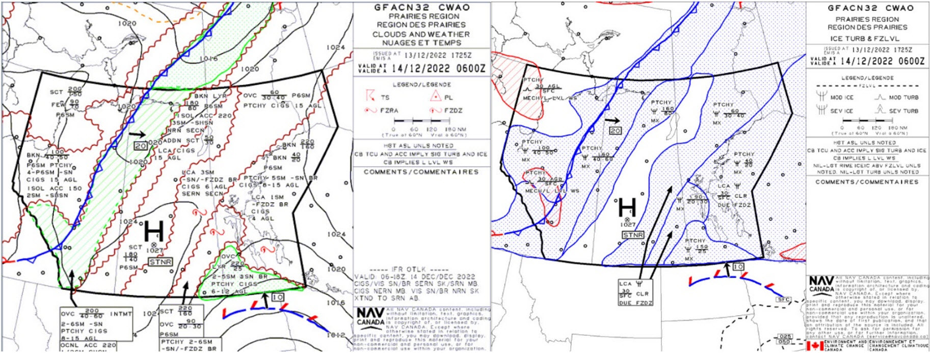
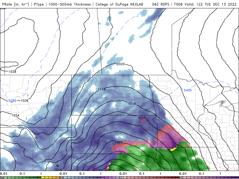
The classical formation process (shown on the left) is very similar to that of freezing rain. In this case, small ice crystals will fall through a warm layer in the lower atmosphere and melt, before continuing to fall into a layer of below freezing air closer to the surface. The drizzle droplets will not have enough time to refreeze in this layer, but will instead freeze on contact with the ground or other surfaces. This formation model is the less common process, and is most often associated with approaching warm fronts. It is short lived and is oftentimes mixed with snow, before transitioning to rain or drizzle.
Important notes:
Image Source: Environment and Climate Change Canada
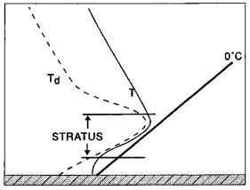
The non-classical formation process is the dominant process by which FZDZ develops. It is characterized by stratus cloud whose temperature is entirely below freezing. Small supercooled liquid water droplets (water droplets under 0°C) will develop and bounce around and coalesce into larger drizzle droplets. Once the drizzle droplets get large enough, they will begin to fall through the cloud and freeze at the surface, or upon encountering an object, such as an airplane.
Image Source: Environment and Climate Change Canada